.png)

Hope is not a good plan.
Can you rely on yourself? Can others rely on you? What's your plan if there is a major catastrophe in your area? What about your back-up plan? What will you do without your "smart" phone, your car, electricity or clean water? Who will help you? Welcome to Emergency Survival Charts.

Our Mission:
Our mission is to provide Americans with reliable, accessible, comprehensive survival information that will save lives. This means our product must be waterproof, durable, compact, lightweight and portable. It must also cover a broad range of contingencies and provide a vital foundation for preparedness and self-reliance. The ESC also aims to provide the building blocks for a network of like-minded people who believe in self-reliance, community responsibility, and the American way of life.
To get the information contained on one Emergency Survival Chart (ESC), you would need a stack of maps and several books about land navigation, bushcraft, shelter building, fire making, food and water procurement, local plant identification, wilderness and Native American medicine, emergency planning, communications and more.
However, books and maps are too heavy, bulky, and delicate for rugged field use and especially, for exposure to water. Electronics are often unreliable in those conditions as well, and they commonly fail when you need them most. This is why physical maps are so important. Everyone thinks they can search their phone or computer when they need something, but what happens when the device doesn't work or networks are down? Honestly, many people don't even know what they should search for to begin with.
If you are motivated enough, and have the right kind of upbringing or training, you might know what to look for, but there will certainly be blind spots. It would be wise to record all that research now, before a disaster hits. You would probably have to spend countless hours reading books, searching the web, collecting vital information, and verifying that info with multiple sources. Then you would have to compile it all, organize it, and save it someplace where it would be easily accessible during a crisis... even without power. Next, you would have to find, and buy the maps, then research, and determine an acceptable material to print it all on. This all becomes very time consuming and expensive, even if you know what you're doing.
Alternatively, you could buy an ESC, since all of the work has already been done for you. Want to know more? See the ESC Description video below.
.JPG)


To see more detailed information about some of what's included on an ESC, let's take a walk in the Texas woods:
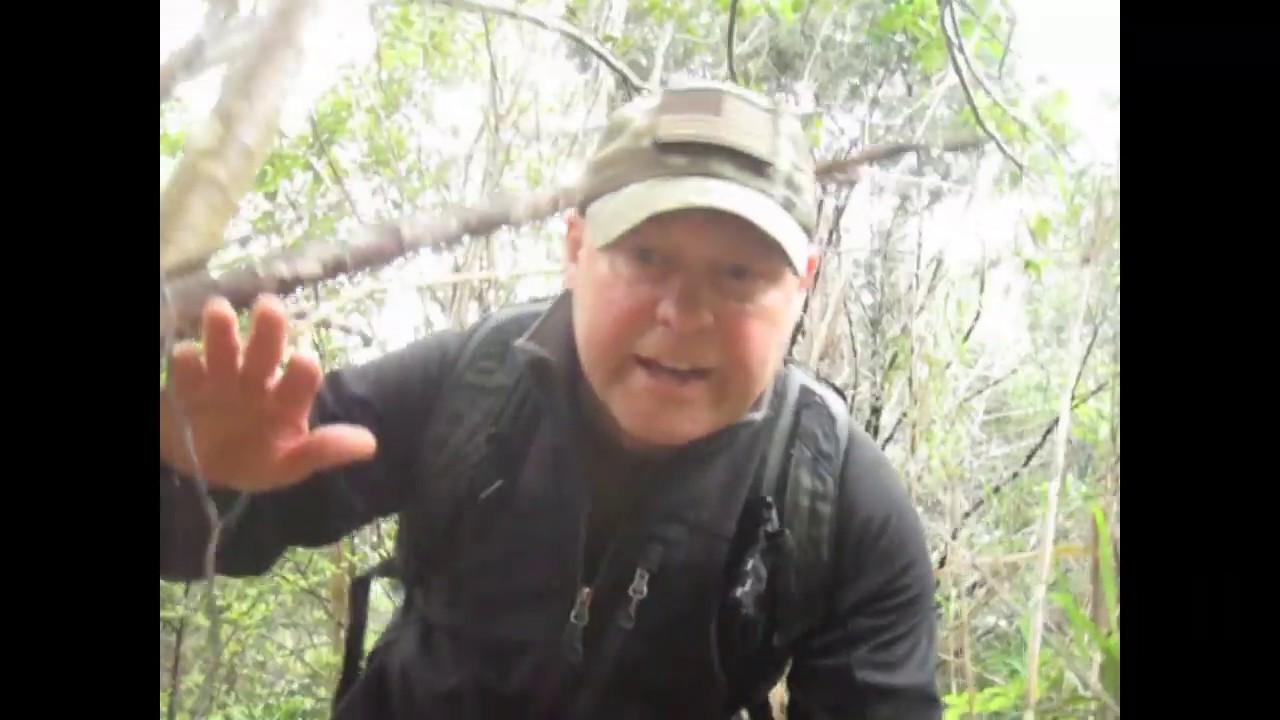
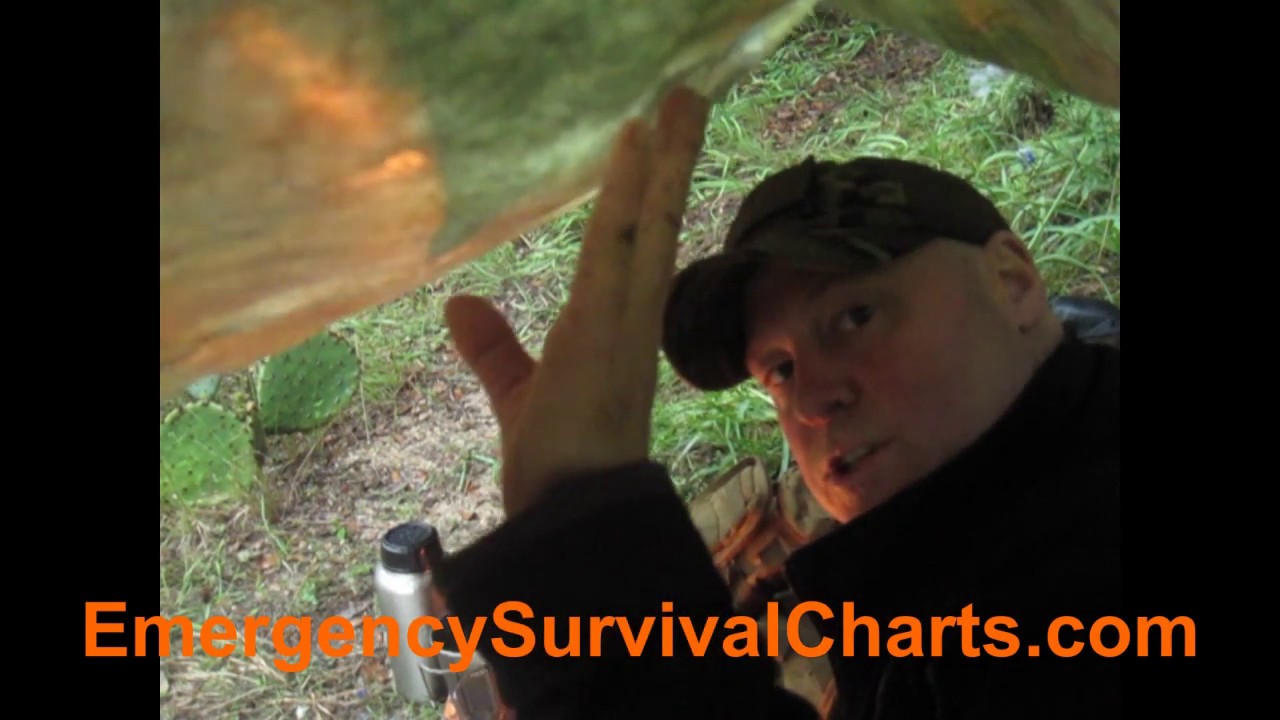
The rain came, and when it did I was able to quickly build a shelter with the ESC. It is printed on Dupont Tyvek which is often used as a permanent water barrier in home construction. The printing is a water based ink that does not fade or run. According to its manufacturer, it "contains zero hazardous air pollutants, is non-flammable and non-combustible," and it's safe enough to be used "in schools, healthcare facilities, and other sensitive environments." Additionally, it "protects against light-fade, scratch and abrasion, and water and chemical damage." Below is one of the first videos I've made, but it demonstrates how useful and versatile this product is.
The ESC was inspired by a product made by the US government called an Evasion Chart (EVC). An EVC is typically given to pilots and other personnal who risk being stranded alone behind enemy lines and are therefore unable to use electronic communications for fear of being detected. An ESC is really just a civilian version of of an EVC, but with a grid down situation being the worse case scenario in mind. In other words, it's an off grid survival map.
According to the US government, an EVC can be used to collect water as demonstrated in the video above, or it can also be used to physically haul water. Additionally, by lining a hole in the ground, it can be used as an improvised wash basin for yourself, your food or your clothing. It can be used as a sunshade, a shelter, a waterproof blanket, or to cover important equipment during foul weather. It can used to haul small things like kindling for fire, leaves for insulating a shelter, or for collecting food like nuts, berries or small game. Medically, it can be used as an improvised chest seal or to make a splint for broken bones or as an emergency blanket.
Our company has done rigorous product testing since it was established in 2017, including prolonged direct sunlight, the rain, and even the snow and ice in Maine, as shown in the adjacent pictures. The printing held fast even when a block of ice and leaves was peeled away from it. We are so confident in this product we are offering a 100% money-back guarantee for sun, water, or ice damage.
.JPG)
.JPG)
.jpg)
.jpg)
.jpg)

.jpg)
.jpg)
.jpg)
.jpg)
Emergency Action
Step by step instructions in case of an emergency. First, get off the X. Then it helps you assess your situation and decide whether to to shelter-in-place, or evacuate. Each ESC has recommendations for the area it covers. It also has basic route planning information, travel techniques and defensive measures for when stopping and resting.

Communications
This is information about basic communications planning. It includes important local HAM and CB frequencies like NOAA all hazards broadcasts and Emergency Center of Activity. It also includes Morse Code, the phonetic alphabet, signal flags, ground to air signals, emergency communications and much more.

Firecraft
This describes the basics of fire building like site preparation, material selection and the "Fire Triangle." It tells you what plants and what kinds of woods are the best for fires as well as some household hacks like using batteries to start a fire.

Land Navigation
An introduction to map reading and how maps work. This is about actual maps... not apps. It also has detailed information about basic compass use and some advanced techniques as well. GPS is great but it can be unreliable... especially when you need it most. This is mainly about the device that got humanity through the past 2,000 years. ESCs also have Water Crossing instructions.

Bushcraft
This includes diagrams depicting 10 of the most important knots, including their uses and how to tie them. Also, it has step by step instructions for building the ten most effective primitive traps and snares for game, birds and fish. It includes directions for field dressing large game, like deer and wild pigs, and how to make the meat into an amazing survival food: Pemmican.
.JPG)
Drinking Water
This includes water conservation, water sources, natural indicators, procuremnet, filtration, and purification.
For example, "How much water does your bathtub hold and how long will it last your family? See panel F8 on your ESC.

Shelter Building
This section explains how to choose a suitable location for a shelter as well as building techniques. Depending on what environments your ESC covers it may have instructions for a Desert / Woodland Ground Shelter, and a Snow Shelter. All ESCs descibe how to make a Wiki-up Shelter which can have a fire inside as well as instructions for a "key-hole fire" pit.

Combat / Wilderness Medicine
This section is designed to be easily accesible in case of emergency. It is based on a combination of US Special Operations Tactical Combat Casualty Care (TCCC) course curriculum, remote wilderness medicine, and traditional Native American medicine. Everything from bug bites and blister care to bullet wounds.


